This past weekend on Saturday June 8th, me and 11 others from the Spokane Mountaineers set out to summit Silver Star Mountain. Two weeks ago, I was supposed to be in Canada attempting to summit Mount Athabasca as my official Spokane Mountaineers graduation climb. Unfortunately, I got quite sick leading up to the climb and had to miss out, so Silver Star became my graduation climb… and what a climb it was.
Initially, we were planning to attempt Mount Baker via the Coleman Glacier route, but after researching the weather conditions and considering the limited experience of our group, we were quite concerned about potential avalanche conditions near the Roman headwall and also generally concerned about weak snow bridges. Instead, we pivoted to Silver Star Mountain because we thought the conditions would be much better. We opted for the Burgundy Col route based on some beta we had gotten from a friend.’
We departed Spokane Friday a little bit after 4 PM, stopped for some burgers at the Teepee Drive-In in Grand Coulee, and ultimately arrived at Lone Fir Campground around 8:45 PM. We quickly set up camp and tried to get some sleep before an early alpine start. This was about to be my first glaciated peak, and though I had crossed a glacier before, I was definitely nervous but excited about the climb tomorrow. It took me about an hour to cool down enough to actually sleep, but I think I managed ~2 hours before waking up at 12:15 AM and then intermittently checked my phone until my alarm was supposed to go off. Pro tip: brew some coffee beforehand and put it in a thermos if you’re doing a “car to car” trip. It was a magical experience to sip coffee while admiring the cosmos and just enjoying the silence that only camping can bring. At 1:35 AM, we left camp.
We arrived at the pullout along Highway 20 Saturday morning around 1:45 AM and had a brief sync to discuss turn-around time and snap an obligatory group selfie. Conditions were on the warmer side already, around 50°F. Typically, I like to be a bit colder at the start, but you don’t get to tell Mother Nature what to do.
We began our descent to the Early Winters Creek, which involved some pretty low-key scrambling. The creek was definitely wider than I expected and at the very start of a long day, I had to summon my inner gymnist to make sure I wasn’t going to fall in. There are some well placed logs to cross, but be warned that it’s not as easy as it looks. While 11 of our 12 group members crossed without issue, one slipped and got their boots wet.
After the creek crossing, there is a fairly well-marked trail. It’s not super trivial to follow in the dark, so I’d highly recommend downloading the GPX file (or multiple) for the route and bringing a GPS device. We used this extensively throughout the climb. But anyways, the trail then went nearly straight uphill with very short switchbacks (we’re talking like 10 feet before you flip directions). We ascended about 2000 vertical feet before coming to a much flatter section. A couple team members switched from approach shoes to mountaineering boots, as we began to encounter isolated snow fields.
The flatter section was fairly short lived. After that, we scrambled through rock and kicked steps in very confusing snow. The snow was firm on top, but weak below. Every couple steps, we’d either struggle to kick steps or post-hole. This part of the mountain is obviously west-facing, and so we didn’t see the sun until the afternoon when we were descending. And speaking of the sun, those sunrises…
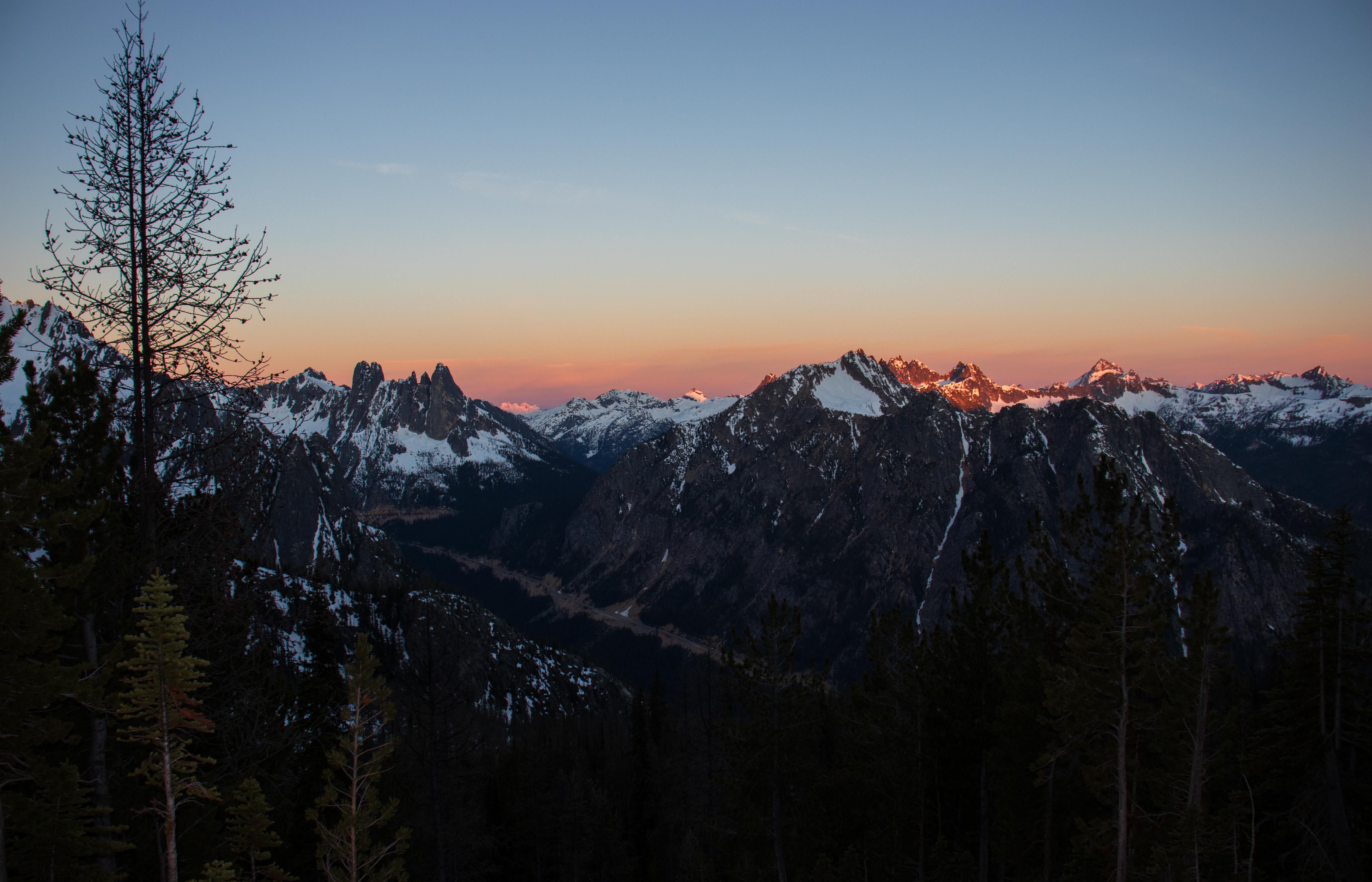
Anyways, the trail up to the Burgundy Col was not trivial, both in terms of route finding and trail quality. It is some pretty crappy Class 2 scrambling with possible Class 3 scrambling if you go the wrong way (which we often did). It would be much better in a small group to avoid rockfall issues. There was a ton of scree that wasn’t in itself super problematic, but it often would trigger larger rocks to fall, of which there were plenty. We had a couple near accidents even with the group taking the utmost care. Definitely heed caution here.
We finally arrived at the Burgundy Col at 8 AM. With a smaller group and/or having the trail entirely in snow, this would have been significantly faster. Note: there was at least one visible campsite at the Col, but I presume there are others because there was a group of 4 climbing the Burgundy Spire and the campsite was barely big enough for one tent.
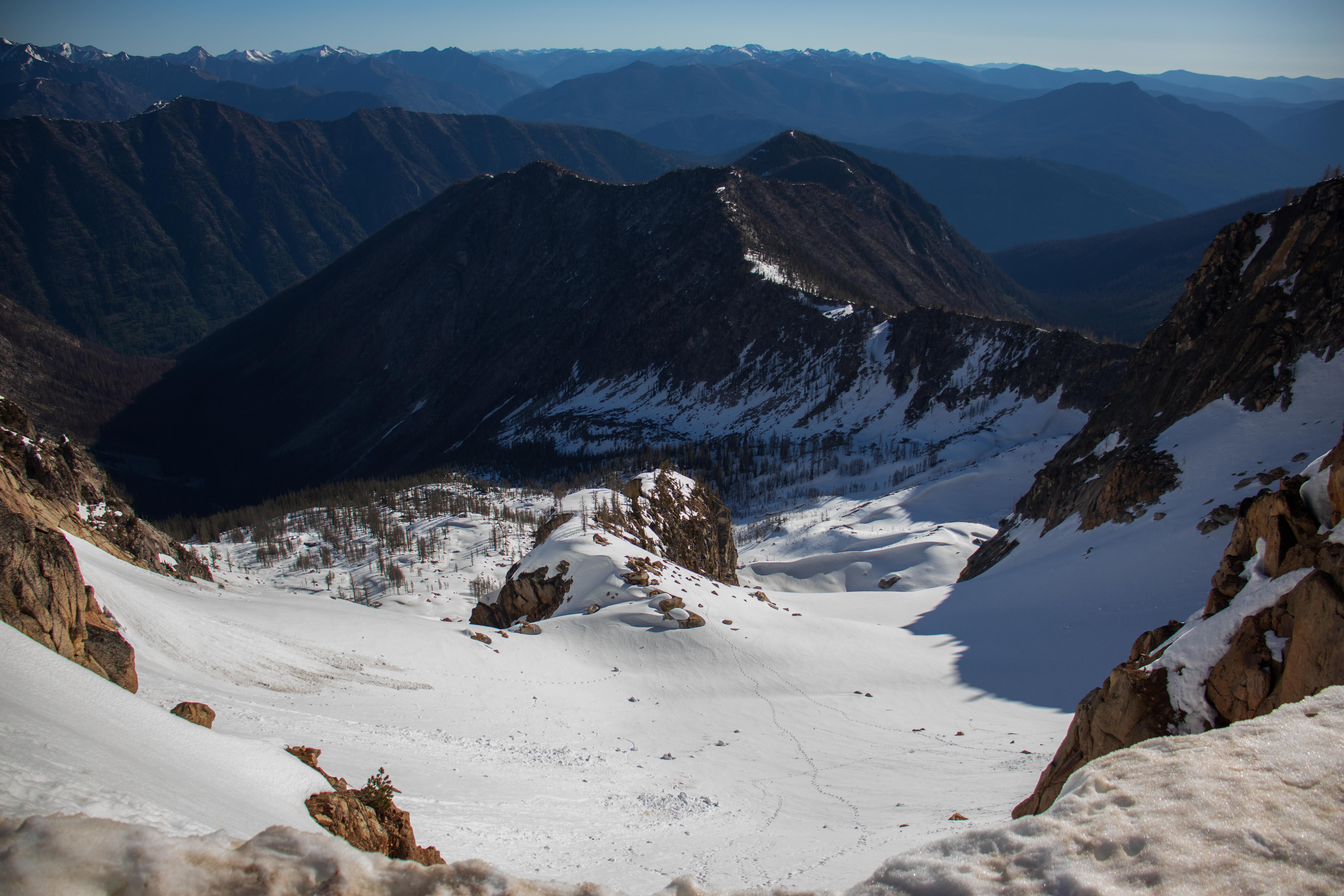
View at the Burgundy Col facing east
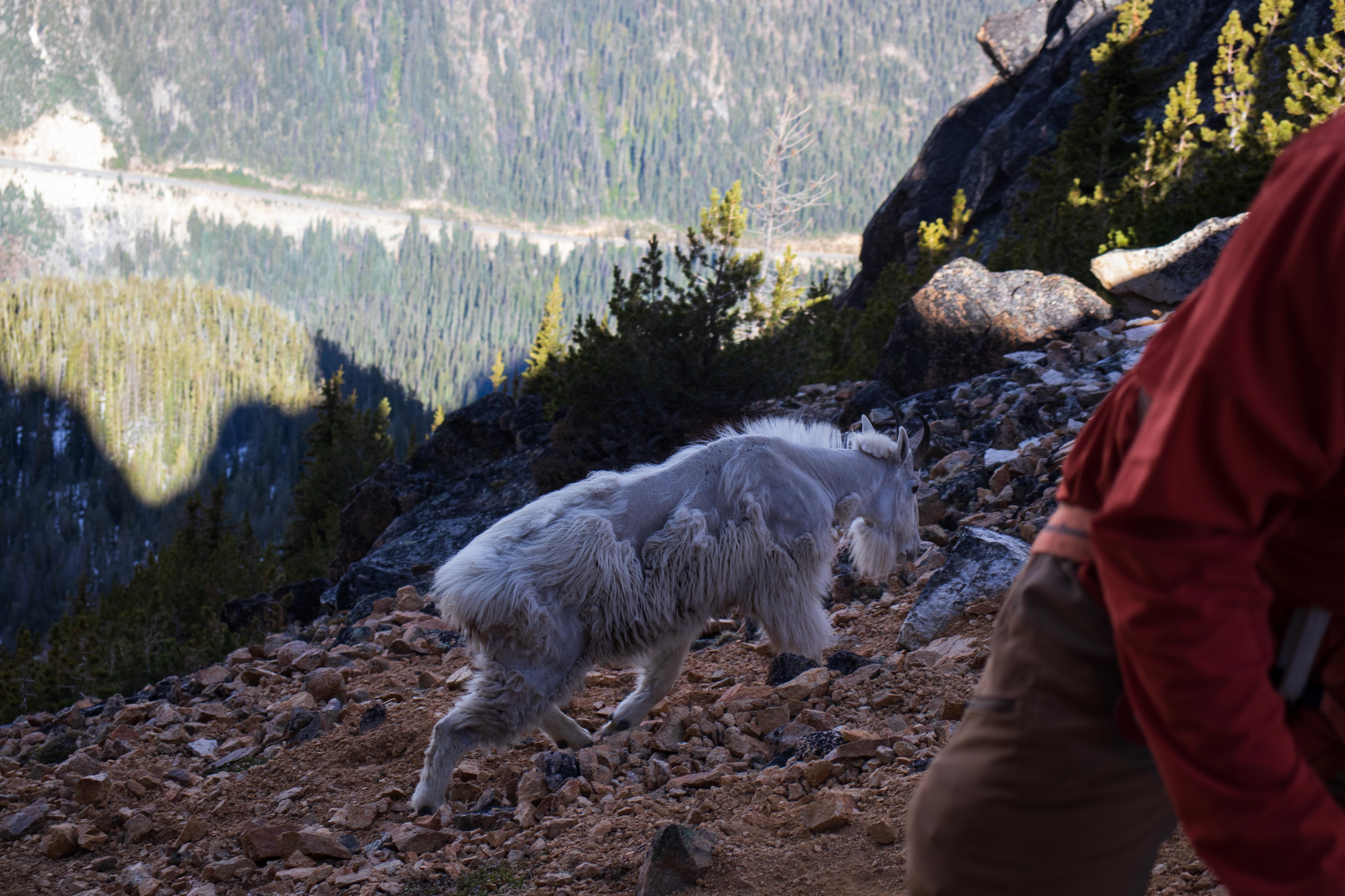
Burgundy Col Goat
From there, we descended about 100 vertical feet and traversed south to a subsidiary ridge. Here, the Silver Star glacier comes into view, and wow is it pretty. We decided to rope up here.
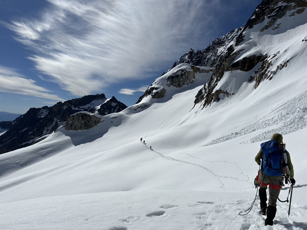
A picture of me on the Silver Star Glacier, credit owed to Dan Rey-Bear
We continued to cross and ascend the glacier. On the immediate slope before the summit col, we stayed left in the shade to avoid snow slides because we had already witnessed several low scale snow slides as we crossed. We arrived at the summit col around 11 AM, 9 hours after we left our cars. At this point, most of us opted to turn around instead of spending the extra 30-60 minutes to truly summit. I personally made the mistake of planning for a 12-13 hour trip and knew I was already going to run out of food/water, so I didn’t think summiting was an intelligent decision. Two people in our group decided to try it out (the East Summit) and then catch up. They were stopped by a narrow chimney about 10 feet below the summit. If they had more time, they would have attempted to climb it, but the other 2 on their rope team were patiently waiting at the summit col.
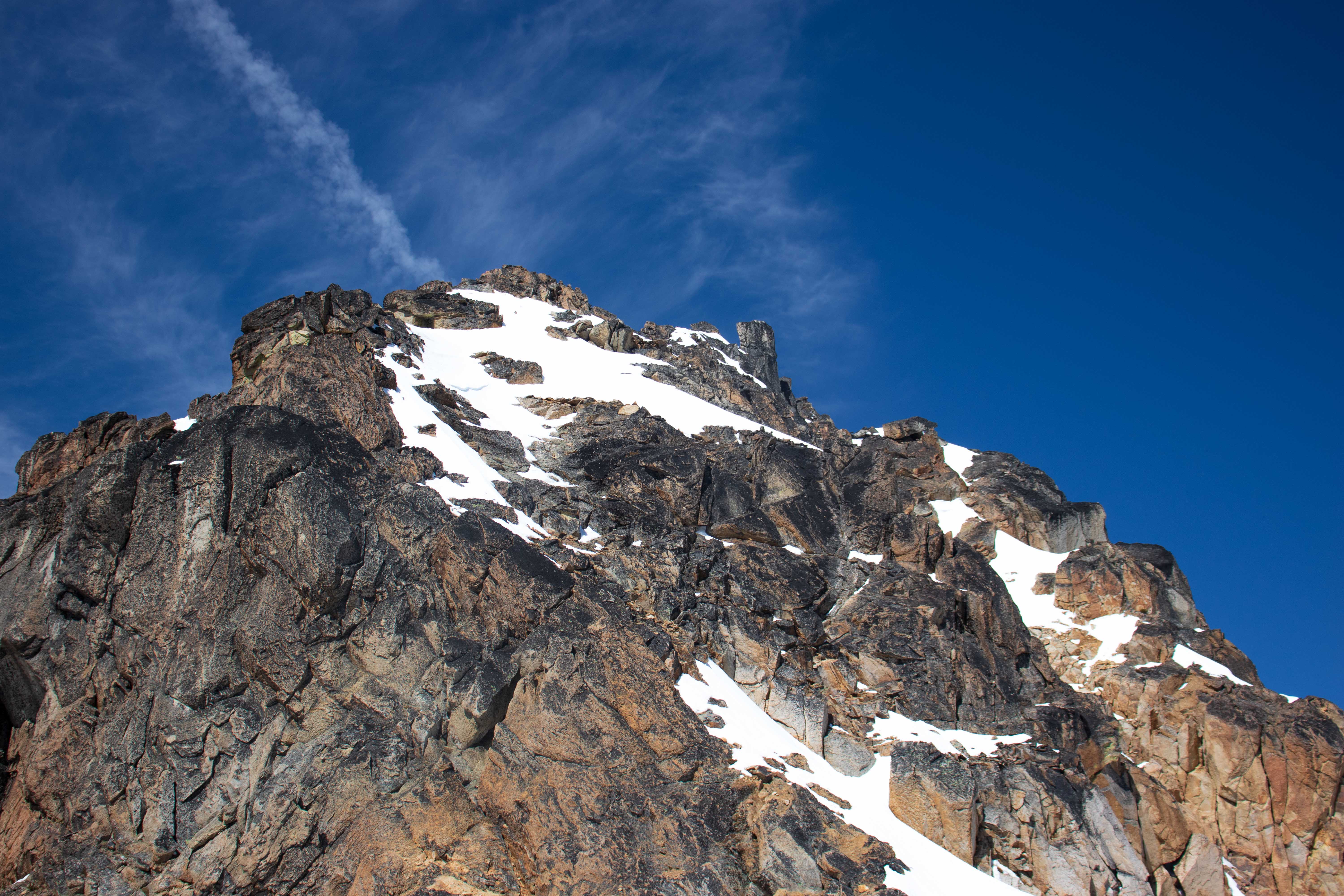
West Summit View from the Summit Col
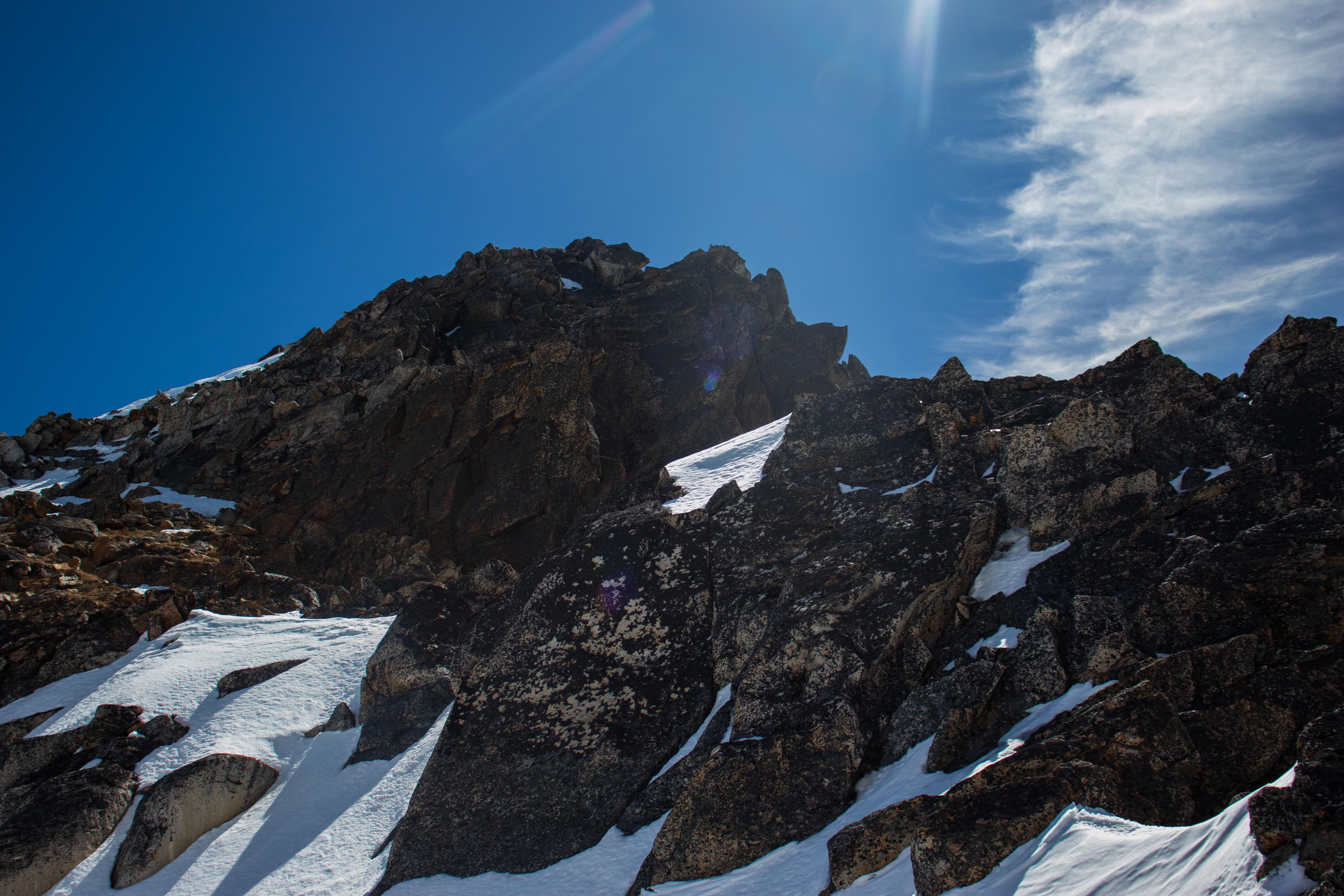
East Summit View from the Summit Col
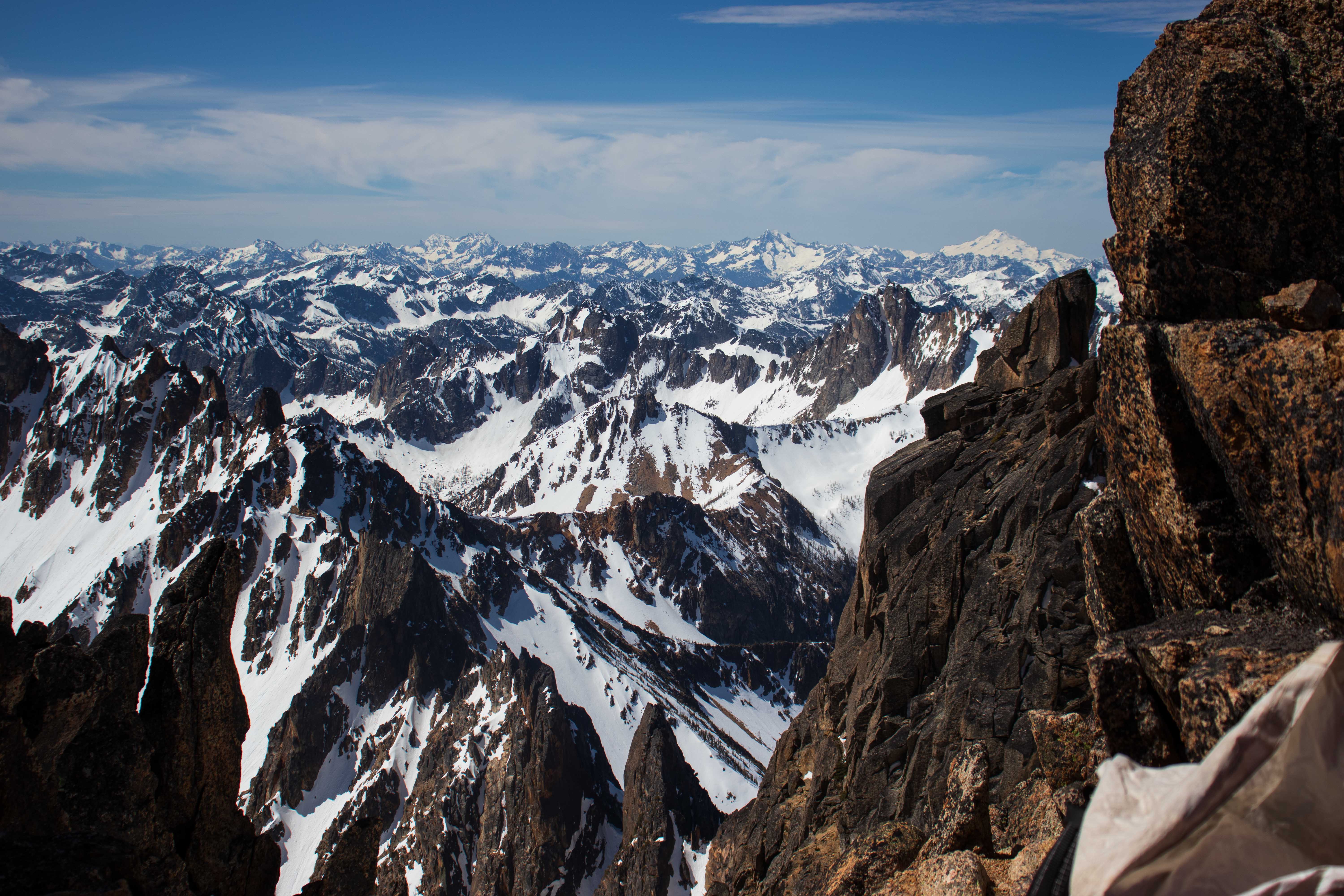
Facing Southwest from the Summit Col
We descended around 11:15 AM after a short break. The snow was quickly becoming messy. We were all able to safely descend the glacier, but I’d personally be weary of weak snow bridges if the weather continues to remain warm. We arrived back at the cars at 5 PM, a long 15 hour day. This was an incredible trip and a humbling experience. I’d highly recommend it.
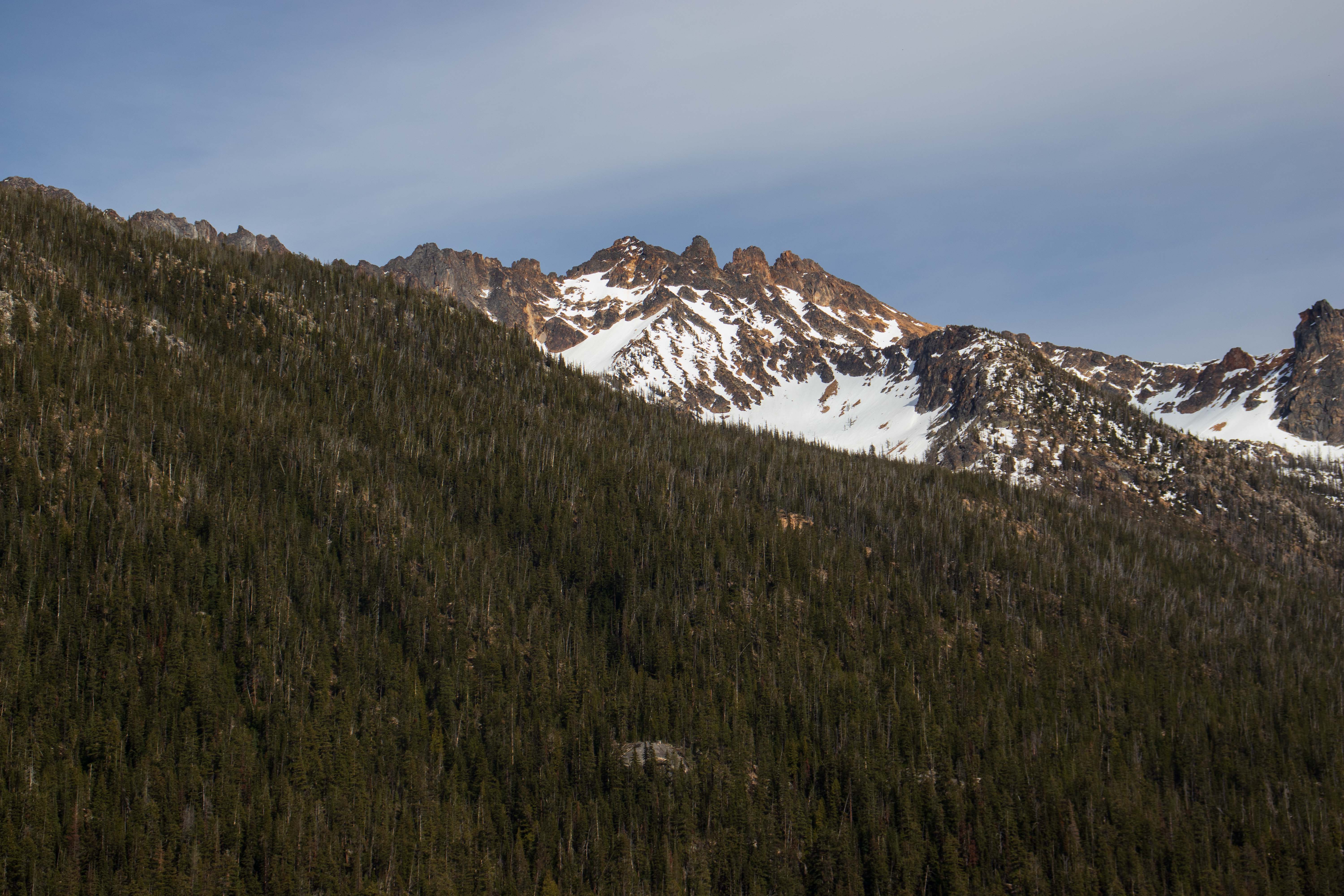
A farewell picture of Silver Star